 Tuesday October 27 marked the start of the new triple-E lectures. The lecture series that brings the latest discussions in ecology, energy and environmental sciences to Leiden University. In light of the pandemic and the restrictions around physical meetings the the lectures take place online. This fall season started with Daniel Moran, Senior Researcher in environmental economics at the Program for Industrial Ecology at NTNU.
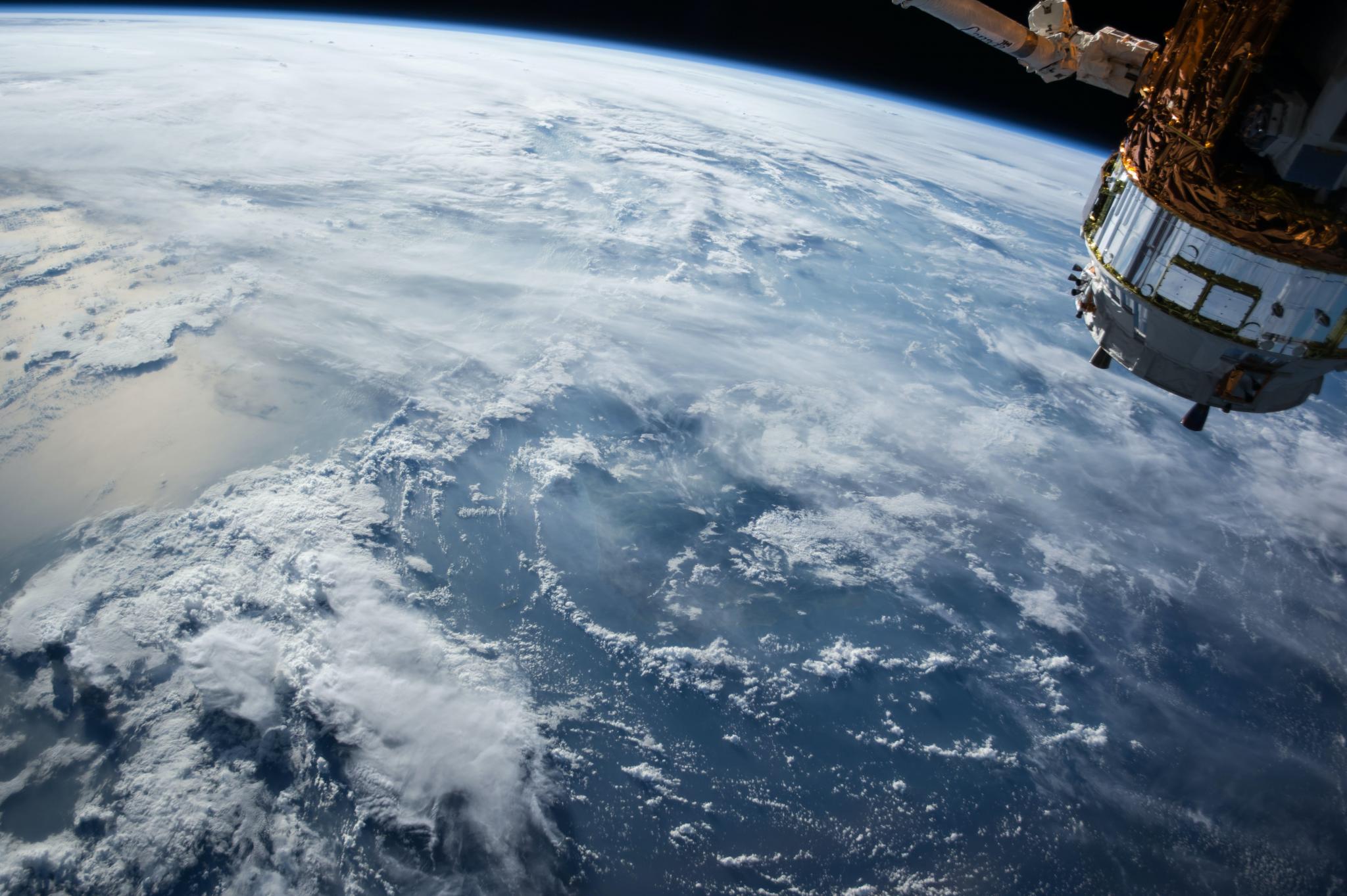 Satellites orbiting our planet are in continuous state of data collection, sensing changes in the physical, chemical and biological systems of our planet. Earth observations have benefitted from decades of development, measuring everything from land use and biodiversity changes, to earth’s climate. Quantity and quality of remote sensing is constantly increasing and it can be of great value for decision making. However, the data often remains in the natural science field and only very limited applications support economic policy at large.
Dr. Moran spoke about connecting remote sensing to economics and environmental policy decisions. An idea that would also represent a great return on investment helping businesses and governments realize more sustainable supply chains. Increasingly, decision makers’ need detailed and accurate data and obtaining insights into the physical flows underlying the monetary economy/flows is not an easy task. However, leveraging new approaches using spatial data and machine-learning techniques to connect Earth observation data to conventional economic tools can help us with mapping more accurately the structure of the economy and its respective environmental impacts.
If we know where biodiversity threats are occurring we can then overlay industry spatial data obtaining a map with each attributed specie loss associated to industrial activity. Or, if we know where cropping is occurring we can connect it to deforestation and other environmental pressures, all the while making sure that we don’t shift problems geographically.
- Dr. Moran
Going from country level statistics to detailed regional level using satellites is an important development which fosters effective science-based policy making.
Written by: Franco Donati
Edited by: Deborah Sumter
Interested in the topic, but missed the lecture? Watch back the lecture below